This writing and photography by Vistabule owners Edwige and Kurt Moses. For more of their adventures in their Vistabule, read their previous posts, “Travel and Error: Navigating a Pandemic – Part 1”, “The COVID Zone: Navigating a Pandemic – Part 2”, and “Outpost Mojave: Volunteering in the Desert”.

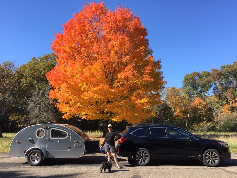
The main determining factor for where we volunteer is climate. Although we routinely make our camp in locations with temperature extremes, we typically spend warmer months in the North and cooler months in the Southwestern United States. This past winter, we deviated from that routine and headed east to The Outer Banks.
For the first four weeks of our mission we were based out of Bodie Island, documenting the Northern part of the barrier islands including Fort Raleigh National Historic Site and Wright Brothers National Memorial. The remaining seven weeks we were based out of Buxton, a small village on Hatteras Island.
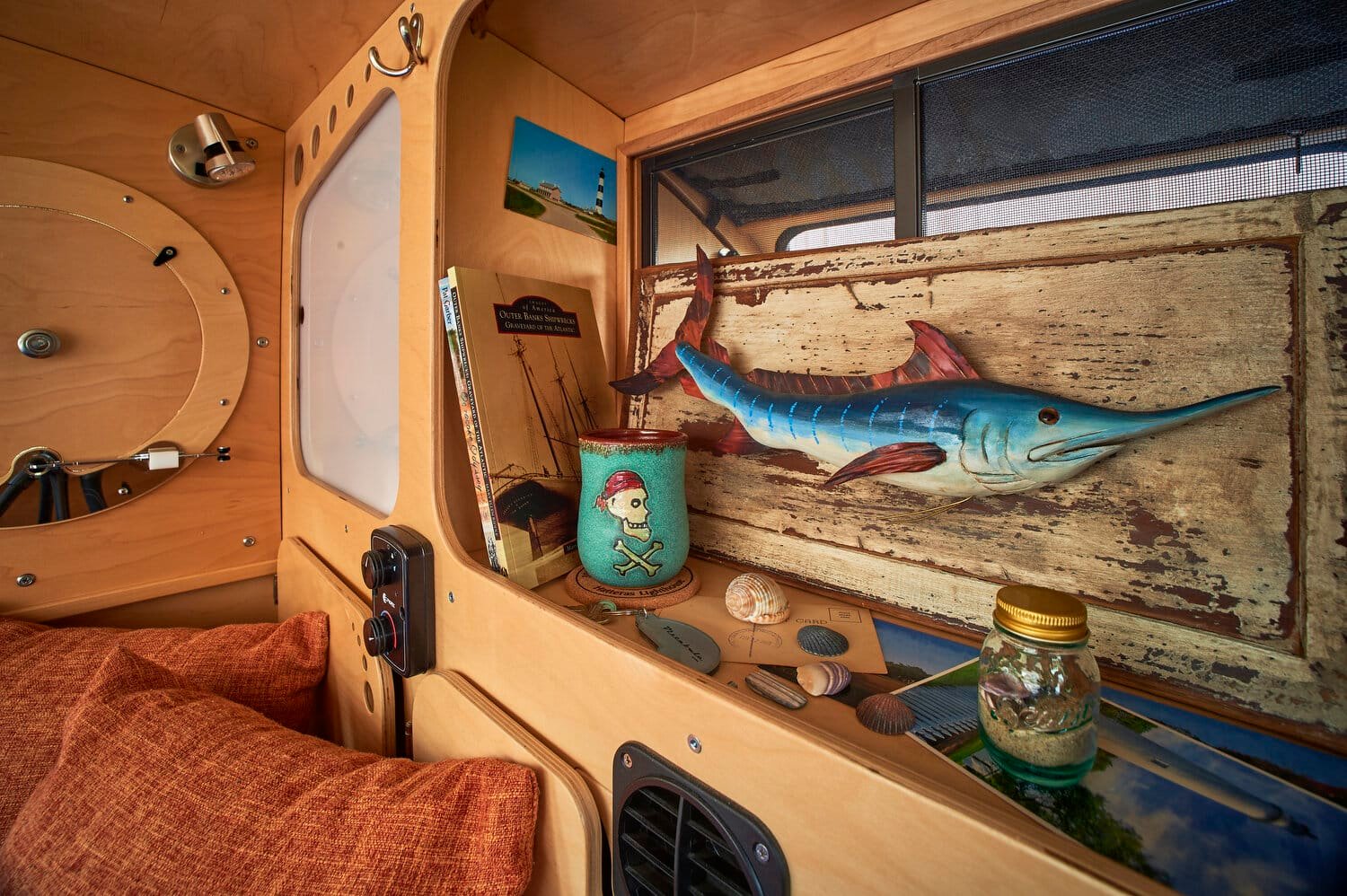
Before our arrival, we knew little about North Carolina or the East Coast. In the three months we volunteered along the National Seashore we discovered an area with a rich history of shipwrecks, pirates, and lighthouses. We also met a lot of surfers, fishermen, and friendly folks. Sadly, storms, erosion, and the continued rise in sea level put these barrier islands and their way of life in peril.

THE VANISHING OUTER BANKS
Wind-blown sand and standing water on the road are near-daily occurrences in some areas because the barrier islands are continuously shifting. During our stay, we witnessed one major over-wash. When this happens, heavy machinery has to be used to push the sand back towards the ocean and clear the road for traffic to pass through.
Despite houses being built on stilts and the daily maintenance of Highway 12, there is growing concern among many residents and state agencies that the conservation efforts will not be enough to counter the erosion caused by the rising seas.

Whatever it is, the way you tell your story online can make all the difference.
FISHING
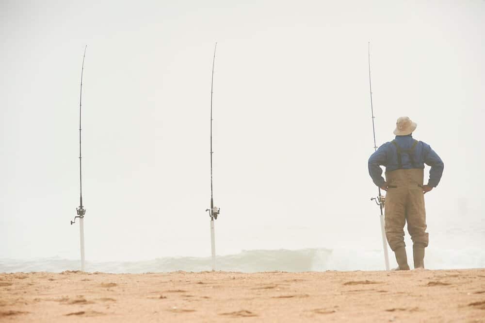
Fishing is a way of life in the Outer Banks. On Hatteras Island, many residents fish for sustenance year-round. Commercial fishing is big here too; trawlers launch from Bodie Island’s Oregon Inlet fishing center and the town of Wanchese on Roanoke Island. On the day we were visiting Wanchese, we were fortunate to document fishermen bringing in a 410-pound Bluefin tuna!


THE GRAVEYARD OF THE ATLANTIC
The Outer Banks is nicknamed the graveyard of the Atlantic for the massive amount of shipwrecks lining its coast. One reason for this is that two major ocean currents collide at Cape Point. The Point may be an ideal location for fishing from the shoreline but not so much for swimming or surfing as the waters are constantly churning and clashing.


There are an estimated 3,000 shipwrecks along the Outer Banks shoreline. One of them, the Priscilla, happened near the village of Avon on August 18, 1899. The remains can be seen on occasion, especially after strong winds and surf erode enough of the beach to reveal what remains of the wooden hull.
A more recent wreck, the Ocean Pursuit, ran aground off Bodie Island on March 1st, 2020. Since then, every time the tide rises, the sand softens around the boat, and it sinks in a little more.

WORLD’S SECOND TALLEST BRICK LIGHTHOUSE
The Cape Hatteras Lighthouse, the world’s second tallest brick lighthouse, was built to help reduce risk in these dangerous waters. What sets this lighthouse apart from the others is its height, appearance, and the quality of its craftsmanship. Since its construction in 1868, the lighthouse has survived several hurricanes, nor’easters, and the Great Earthquake of Charleston in 1886.


Due to continuous beach erosion threatening its foundation, it was decided in 1999 to relocate the Cape Hatteras Light House 2,900 feet south of its original location. It now lies 1,500 feet from the seashore. Currently, the lighthouse is undergoing restoration to remove lead-based paint from its interior.
PIRATES AND TREASURE
Ocracoke Island is one of the more remote islands of the Outer Banks and is only accessible via ferry and small airplane. There are less than 1000 full-time residents on Ocracoke and with a top speed of 15 mph in the village, the locals walk or use golf carts to run errands.
The majority of the island belongs to the National Park Service, which prevents its beaches from becoming over-developed and commercialized. The National Park’s Ocracoke Campground is an inexpensive and easy way to experience Ocracoke like an islander. The island’s slower way of life and natural beauty are its true treasures.


The pirate Blackbeard (Edward Teach) used to hang out in Ocracoke in the early 1700s and have big parties on the beach after days of profitable looting. The rumor is that the then-governor of North Carolina was a friend of Blackbeard and turned a blind eye to his shenanigans.

The residents of Ocracoke got so fed up with Blackbeard bringing terror to their neighborhood that they secretly appeal to the governor of Virginia who enrolled the Royal Navy and hatched a plan to ambush the scary pirate. Blackbeard was killed off the coast of Ocracoke, beheaded, and his body thrown overboard. The area where the events took place is now a beautiful, quiet Nature Preserve called Springer’s Point.
RALPH AND SUSIE
We have met numerous people in our travels that we now call friends but Ralph and Susi are special. In our opinion, they are the ideal National Park Volunteers. They are kind, friendly, and proficient in many fields. Ralph was a paramedic and a firefighter in his previous career and will recount incredible stories that can change the way you think.

They are both gifted at playing the ukulele and inspired Edwige to give it a try. The night before our departure from the Outer Banks, Ralph and Susie gifted Edwige the Buxton Beach Bum, a custom engraved tenor ukulele! Edwige continues to practice daily and recently added some easy-to-play Bossa Nova songs to her repertoire.


ISLAND LIFE AND VISTABULE
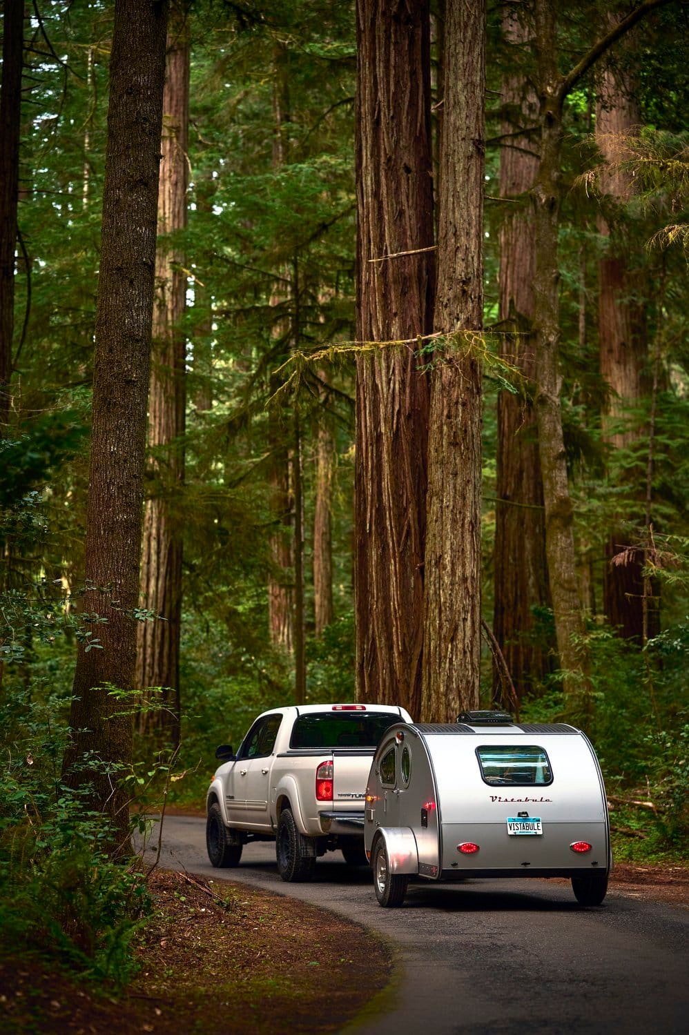
Of all of the places we have visited, the Outer Banks seems to be the most laid back and comfortable when it comes to living out of a Vistabule. Except for the salt air, which is corrosive to vehicles and trailers (they should be rinsed frequently), and the occasional slow-moving hurricane (there is plenty of notice to evacuate), we cannot think of a better place to set up camp.


The winters are cool, the summers can be hot and humid, but it is more about the way of life here that makes it so appealing. For us, once we cross the Marc Basnight Bridge, traveling South on Highway 12, the Outer Banks takes on a very different feel from the rest of North Carolina’s coast.
The village of Buxton which is situated midway between Rodanthe and Ocracoke Island seems to be the right mix of friendly people, compelling history, a temperate climate, and an overall laid-back vibe.
Related Posts

Teardrop Trailer: The Camper That Fits in Your Garage
After a long weekend out on the road, the best feeling is being able to easily unload your camping gear and head inside for a nice bath. With a classic teardrop trailer, gone are the days of worrying about where to safely park your trailer after a trip. One of the most unique aspects of teardrop trailers is that they can fit directly in your garage.

The 16 Best Audiobooks for 2021 Road Trips
Have a road trip planned this summer? There’s so much to love about the open road, but there’s no denying that spending hours in the car can get a little tedious. Finding ways to entertain yourself and your passengers is the key to a successful trip. Vistabule is here with some of our favorite audiobooks for road trips.
